Water Activities
Charlie Robbins Canoe Trail
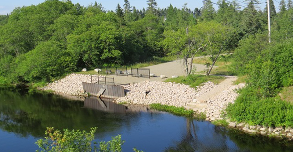
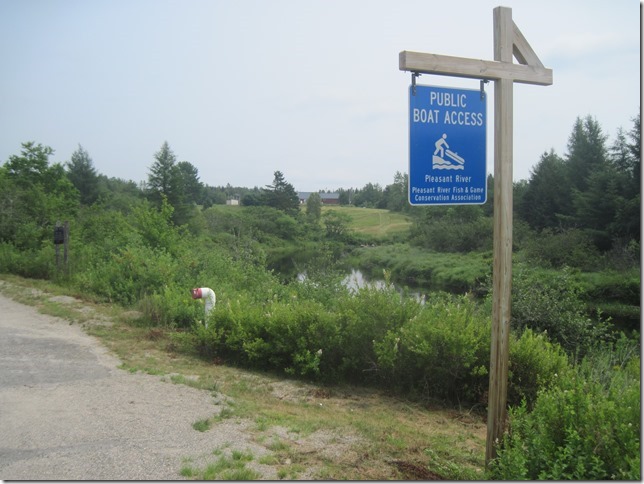
The Association owns and maintains two canoe launch/landing sites on the Pleasant River, which are open for the enjoyment of the public.
1) The Upstream Site - VIEW ON MAP
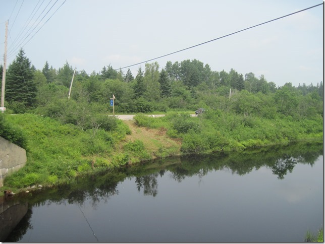
Named the Clifford Stevens landing is located by Arties Bridge at the intersection of Meetinghouse and Tibbettstown Roads in Columbia. It is marked both by our own and state signage, and features a parking area large enough for several vehicles.
2) The Downstream Site - VIEW ON MAP
Named the Roger & Harold Wakefield landing is located immediately off Rt. 1 where it crosses the Pleasant River in Columbia Falls. It features ample parking, a picnic table, and an observation area suitable for fishing. The site is marked by state signage and there is an information kiosk on site. We strongly advise against swimming in this area due to debris in the river left over from the logging industry in years gone by.
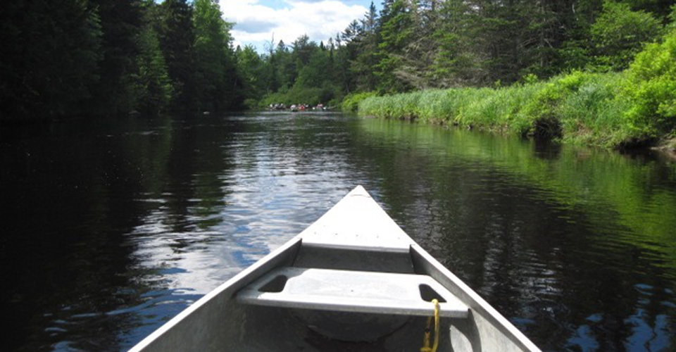
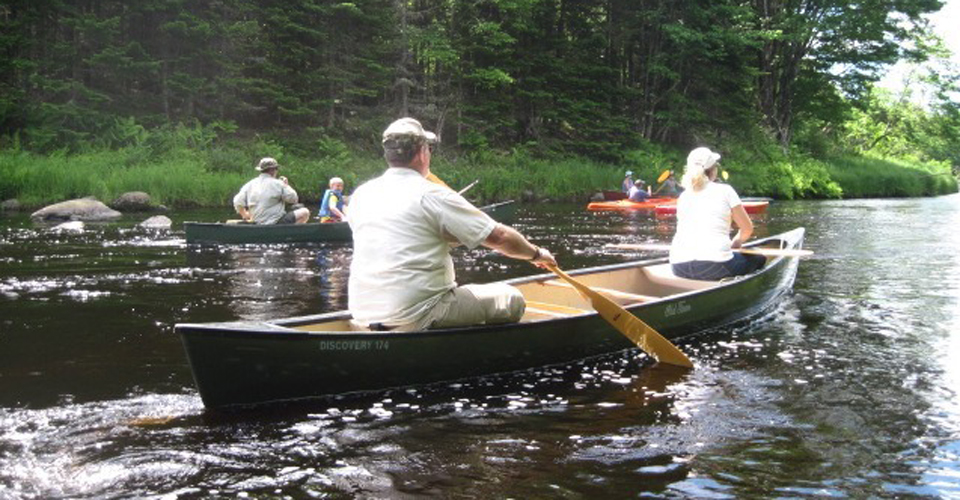
Between the two sites is approximately four miles of river constituting the Charlie Robbins Canoe Trail. While not remote, its wooded banks give the feel of wilderness, much of it being conserved land. Be advised that during dry times of the year a couple of sections of the river can get a bit "boney" and may require a bit of pulling through short sections. During the spring freshet there is one section near the beginning that features some class two water.
Part of the trail goes along the shore of the Downeast Salmon Federation Land Trust. For more information visit the Downeast Salmon Federation website.
"Late for Lunch" River Race
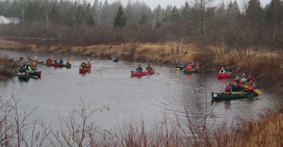
For some early season fun, join us at our "Late for Lunch River Race", which is held every April in conjunction with the Downeast Salmon Federation's Annual Smelt Fry. For more information visit the following links:
For more information, please email events@prfgca.org
.jpg)